What is Blueprints Technology?
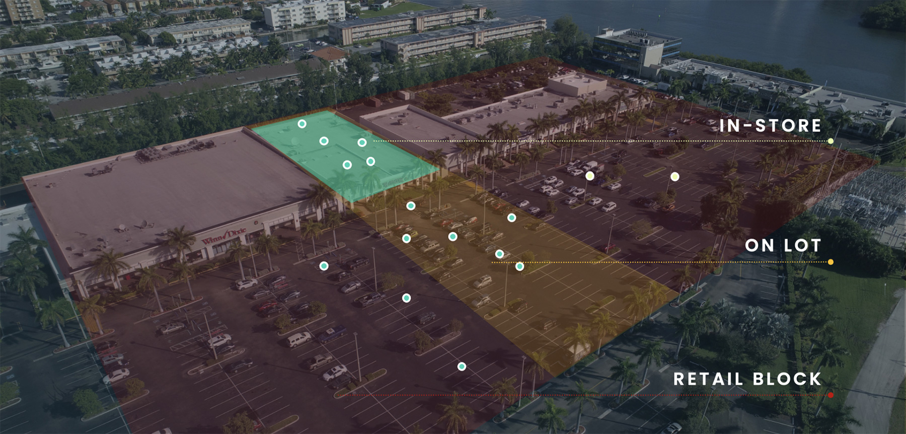
Blueprints is the industry’s largest and most accurate geofencing platform. Unlike typical geofencing platforms, which creates radiuses around a location, Blueprints form polygons by tracing the store or place boundary based on satellite images to capture the precise boundaries of a location.
All mobile location signals GroundTruth sees on its platform are mapped back to a business or POI using Blueprints. It’s the only mapping platform that accurately draws brands and multi-layer POIs, which we believe is necessary to fully understand who mobile users are and how they engage with their surroundings.